Warning: mysql_result(): state not found in MySQL result index 3 in /home/leagan1/ericandleandra.com/waterfalls_admin/waterfall_page_creator.php on line 51
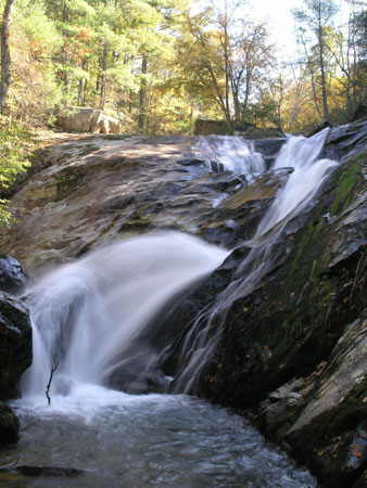
Staton's Creek Falls

photo taken 10/23/2005
Location: Virginia
Note: There is a faint trail next to the top of the falls but it is on very slippery rocks and we do not recommend it.
Directions: Exit the Blue Ridge Parkway at MP 45.6 and head east on US-60 for 3.2 miles. Make a left on SR 605 (Pedlar River Road) and continue 1.7 miles to SR 633 (Fiddlers Green Way) and make a right. Travel about 1.1 miles to a small parking area on the right. You can see the top of the falls on the opposite side of the road a few yards back from the parking area. To reach the bottom of the falls walk about 200 yards past the top viewing area and take a faint trail down to the bottom.
GPS: 37.769527,-79.246917 (approx.)
Additional photos:
taken 6/21/2006

